
Azerbaijan has reinforced a position on Armenian territory near Aygepar
September 18 2026, 10:30
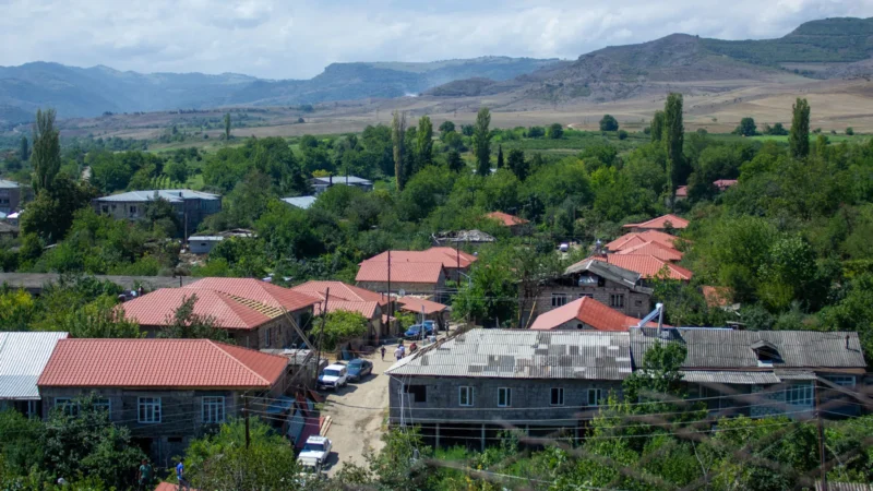
Azerbaijan has expanded and reinforced positions not far from the village of Aygepar in Tavush, according to satellite imagery examined by Sputnik Armenia.
One of the positions is located in an area that, according to a Soviet topographic map at a scale of 1:100,000 (reflecting the terrain as of 1986, published in 1990), belongs to the territory of the Armenian SSR.
The border shown on this map roughly coincides with the line displayed on Google Maps. The Azerbaijani position is located approximately 500 meters inside Armenian territory and about 900 meters from Aygepar.
At the same time, the 1990 map may differ from the 1976 topographic map of the USSR General Staff, which the two sides used when agreeing on the first sections of delimitation.
According to an analysis of Sentinel-2 imagery, the main work to expand and reinforce the post was carried out by Azerbaijan in mid-2024. The images presented show the difference between how the position looked in 2024 and how it looks in 2026.
Thus, the available data point to the development of Azerbaijani military infrastructure in an area that, according to the aforementioned Soviet map (1990), lies within the borders of the former Armenian SSR. Drawing the border along this line would require the withdrawal of Azerbaijani forces.
However, despite the launch of the state border delimitation process, Azerbaijan has expanded and reinforced the military post. It has also carried out fortification work at a neighboring position located directly next to the former Soviet border. A partial update to Google’s map makes it possible to see the engineering work there in greater detail.
 Now live